3-15-2014: Anchored out in the beautiful, clear blue water by Manjack Cay, Abaco, Bahamas

Monday, June 2, 2014

May 31 through June 2, 2014

Saturday the 31st of May, Dog River Marina to Old Lock No. 1 at Mile 100.0 on the Tenn-Tom Waterway:

We left Mobile, AL along with a sailboat and another power boat at 06:20. It was a beautiful morning and Mobile Bay was pretty smooth with just a light chop. The sail boater was a marine and hollered Semper Fi to Keith as we passed him. It took us 35 minutes to get out to the Shipping Channel and then another hour and 20 minutes to take the Shipping Channel into Mobile, Mile 0 on the Tenn-Tombigbee/Mobile River. All the way through the City of Mobile is a No Wake Zone so it was slow going. We saw 14 Tows today with half of them in the Mobile area. I always wave at the Tow Captains and the Captain from "Stephanie" blew his horn for me. It rained on and off for part of the morning and almost steady from about 14:00 to 18:00. At Mile Marker 80 about 14:25 we were shot at by 2 fishermen. Apparently they were mad because we waked them. It was raining quite heavily, they were in camouflage and also in a camouflage boat, and tucked in by the shoreline and we did not see them; if we had seen them we would have slowed down. As it was, we were not even going 9 mph but I guess they were upset. Can’t believe they shot at us!  We averaged about 9 mph all day due to the strong current. Surprisingly there was not much debris in the water at all; we were expecting much more. We got to our anchorage by 18:50 and put 50 feet of anchor rode out in 9 feet of water. Last time we were in this anchorage we had 12 feet of water under us. The tide here is about 1.6 feet. We had a quick supper and an early to bed as we have another long day ahead of us tomorrow.

N31.57519
W88.03516


5-31-2014:  Old Lock #1, Mile 100.0 on the Tenn-Tom. 


5-31-2014:k  Leaving anchorage at Old Lock #1, Mile 100.0 on the Tenn-Tom. 


Sunday the 1st of June, Old Lock #1 to King Fisher Bay Marina, Demopolis, AL, Mile 216.7 on the Tenn-Tom Waterway:

We were on our way at day break; 05:20. It was clear all night and sun shine with just a few clouds this morning and the temp was 72 degrees. We got to the Coffeeville Dam by 07:10 and had to wait ½ hour for a tow and another boat locking down. We locked up 34 feet. From now on we no longer have to worry about tides. It turned into a beautiful day with just 2 short rain showers in the afternoon. We encountered 6 tows throughout the day and averaged between 9 and 10 mph. We traveled 116 miles in 13.25 hours with 2 locks and got to Kingfisher Bay Marina in Demopolis, AL, by 18:45. We were both very tired but glad to finally get here. We had a quick dinner, watched a little TV, and early to bed. I did not get up until 09:00 on Monday.

N32.53114
W87.84155


CO's comments  The forecast for Sunday all the way to Demopolis was dume and glume.  This was another day that the forecasters got it all wrong.  We only had 45 drops of rain on the boat all day.  Thank goodness for our hard top on the bridge and no isinglass because Saturday it rained.   We talked with another boater that was ahead of us on Saturday and he had canvas and isenglass and he spend the whole day mopping up water and looking through a crack in his isinglass just to see where he was going.  We came up behind a tow that was close to a bend in the river and asked to pass at  his convenience.  He came back and said he would stop so we could pass him before the bend because it would take him a long time to maneuver the bend and he would completely utilize the whole river.  In all our years in traveling the river system, this is only about the 3rd time a tow captain has been so courteous.  The XO called him back and thanked him very much.


6-1-2014:  Heron on the side of the river.


6-1-2014:  Demopolis Lock and Dam.


Thursday, May 29, 2014

May 26 through 29, 2014

Monday the 26th:

After a day of rest we were on our way by 06:30 Eastern Time Zone.  We traveled 106 miles today in 10 hours.  It was a long day but beautiful day on the water.  Very warm and hazy with a little breeze in the mid 90's.  We must have seen 50 dolphins following our boat today.  It never ceases to amaze me how fast they can swim; 10 mph jumping the boats wake.  Even the young ones can keep up but they do not jump as high as the older ones.  East Bay and West Bay by Panama City both were calm and Choctawatchee Bay had a light chop.  We got to our anchorage by 15:40 Central Time.  We anchored in about 8 feet of water and  put out 50 feet of anchor rode out.

N30.41119
W86.48943


5-25-2014: Abandon sail boat by Port St. Joe, one of many we have seen on our trip.


5-25-2014: Restaurant at Port St. Joe Marina.


5-25-2014: Kim Jo IV on face dock at Port St. Joe Marina.


5-25-2014: Sun Set at Port St. Joe Marina.


5-26-2014: Shrimp boat on the canal to Port St. Joe Marina


5-26-2014: Sun Rise while starting up the 5 miles of canal to the GIWW from Port St. Joe..


Tuesday the 27th:

Our anchorage last night was nice after sun down but before that it was a very busy bayou with a lot of boaters and jet skier.  Everyone stayed as long as they could to make the most of the last day of the holiday weekend.  We got going again by 06:30 and had a beautiful day on the water with partly sunny skies and a nice breeze.  The rest of Choctawatchee Bay was very calm and so were the Narrows.  Santa Rosa Sound just had a light ripple and Pensacola Bay, the Big Lagoon, and Perdido Bay all had a light chop and this all made for a very pleasant day.  We got to our anchorage at Ingram Bayou by Orange Beach, AL, by 13:30 and had a quiet afternoon and evening.  While driving through the Pensacola area we got to watch the Blue Angles practice.  I got some pictures but they do not do them justice; they were awesome.  This is one of our favorite anchorages; always so peaceful and beautiful sun sets and sun rises.

N30.31815
W87.55527


5-27-2014: Blue Angles practicing by Pensacola, FL.


Wednesday and Thursday the 28th and 29th:

There was rain and thunder storms in the forecast for about 10:00 this morning so we were on our way by 05:50 to try and beat the storm.  To cut a little time off our day we changed our way point to R50 on the Mobile Shipping Channel which is just south of Gaillard Island.  We usually set way points just west of Mullet Point and then another one on R60 just north of Gaillard Island on the shipping channel.  It would have cut off ½ hour or so from our trip.  As we got closer to our point Keith noticed a lot of Tow traffic in the shipping channel in the area where we would have entered so we reset our point back to R60.  This route we had less time in the actual channel.  It took us 2 ½ hours to travel from the GIWW, R120, at about 10 mph to the fuel dock at Dog River Marina.  Mobile Bay started out with 2 foot waves with some white caps and about 2/3's the way through we ended up with 3 to 4 foot waves on our port side and we got rocked some.  It seems that has been our MO this whole season; we rocked and rolled across the Gulf of Mexico twice and the Gulf Stream twice.  This should be the end of rough water.  From now on we will be on the river system and it should go much smoother.  When we got to Dog River Marina we got fuel and a pump-out.  They have flooding here from the east wind blowing the water into the bay at high tide.  The parking lot is full of water.  The area to the laundry and shower building,  West Marine, and the marina offices all have a good 6 inches of water in the parking lots and you have to walk through to get inside.  Usually when we are here, all I need is a small single step, if anything, to get on or off the boat but today we have the 5 step ladder out.  The good news is, we made it here before the storm.  It did not start raining until 14:00.  We will be here for a few days and have some work done on the boat before heading north to Demopolis, AL

N30.56712
W88.09126

CO's comments:  Again, the weather forecast was incorrect as far as when the bad weather was going to arrive.  After looking at the forecast and radar we determined we could make it to Dog River Marina and we did.  I think the weather forecasters should open their doors and look outside and communicate with each other across the country like the use to. 

Sunday, May 25, 2014

May 23 through 25, 2014

5-23 and 24, Friday and Saturday, Gulf of Mexico crossing:

We got going about 11:00 from Clearwater, FL.  All the wind and wave reports were for calm seas with 1 foot waves but right away the seas were 3 to 4 feet with 10 to 15 knot winds with occasional 5' footer and only 3 seconds between waves.  This kept up until about 03:00 on Saturday morning; it was a long day and night.  We are kind of getting use to high seas as we have had them so much lately.  Anyway, we made it safe and sound.

Early on, about 13:00, we kept hearing transmission on Channel 16 from the Coast Guard and Tow Boat US.  First we heard that a boat had capsized and sunk and there was one person in the water with only a hand held radio and he didn’t know his GPS location.  Then we heard the person had been attacked by a Bull Shark and he was bleeding; and then we heard he had lost his right leg from the knee down.  There were several boats involved in the search and a helicopter but they couldn’t find him.  About an hour or so later they called the search off after finding out it was a hoax!  Unbelievable someone would do such a thing.  It was a busy day and the start to the holiday weekend.  We heard several more calls for the Coast Guard and all we think were legitimate.  One 51 year old woman was missing after kayaking and they were still looking for her late into the night; we don’t know if she was found or not.  Another person was in the water after their jet ski sunk but the person was saved, and the last one we heard was on Saturday morning and their boat was taking on water and that was all we heard.  These were just the ones we heard; I am sure there were more.  Crazy things happen on the water especially on a holiday weekend and the Coast Guard and Tow Boat US are kept very busy. 

We got across the Gulf as far as Dog Island, just outside of Carrabelle, FL, by 06:30.  We were traveling about 10 mph most of the time but had to slow down some so we had day light by the time we got to Carrabelle.  From there we picked up the GIWW and kept going as far as Port St. Joe Marina on the Gulf, just 5 miles off the GIWW at about Mile 330.0.  We arrived at the Marina by 13:00 after putting 26 hours on the engines and traveling 245 miles.  We were both very tired and got about 3 hours of sleep before going out to eat at Dockside Restaurant here at the marina. We asked our waiter if we were in Central Time Zone yet and he said the Marina is still in Eastern Time Zone but where he lives is right on the border between both zones. He can actually hold his cell phone in one hand and get one zone and hold it in the other and get the second time zone. He said when he first started working at the restaurant he was an hour early because he evidently had his phone in the wrong hand!  After dinner it was an early to bed for a good nights sleep. We will stay at Port St. Joe until Monday AM before traveling on.

N29.81439
W85.31007

CO's comments:  After we docked at Port St. Joe I talked to a couple of sport fishermen and they said that the wind and wave forecasts have been way off for the last month.  He also said he never knew what to expect.  I think weather men today rely too much on technology and not enough on the old fashion art of weather forecasting.  As a professional pilot, they got it right more times in the 70's and 80's than they did in the 90's plus when all the new technology came out. 


5-23-2014: Sun Set on the Gulf of Mexico


5-24-2014: Sun Rise on the Gulf of Mexico.


5-24-2014: Good morning. Nice to see day light after a very long, dark, night.

Thursday, May 22, 2014

May 14 throuh 22, 2014, Fort Myers to Clearwater, FL

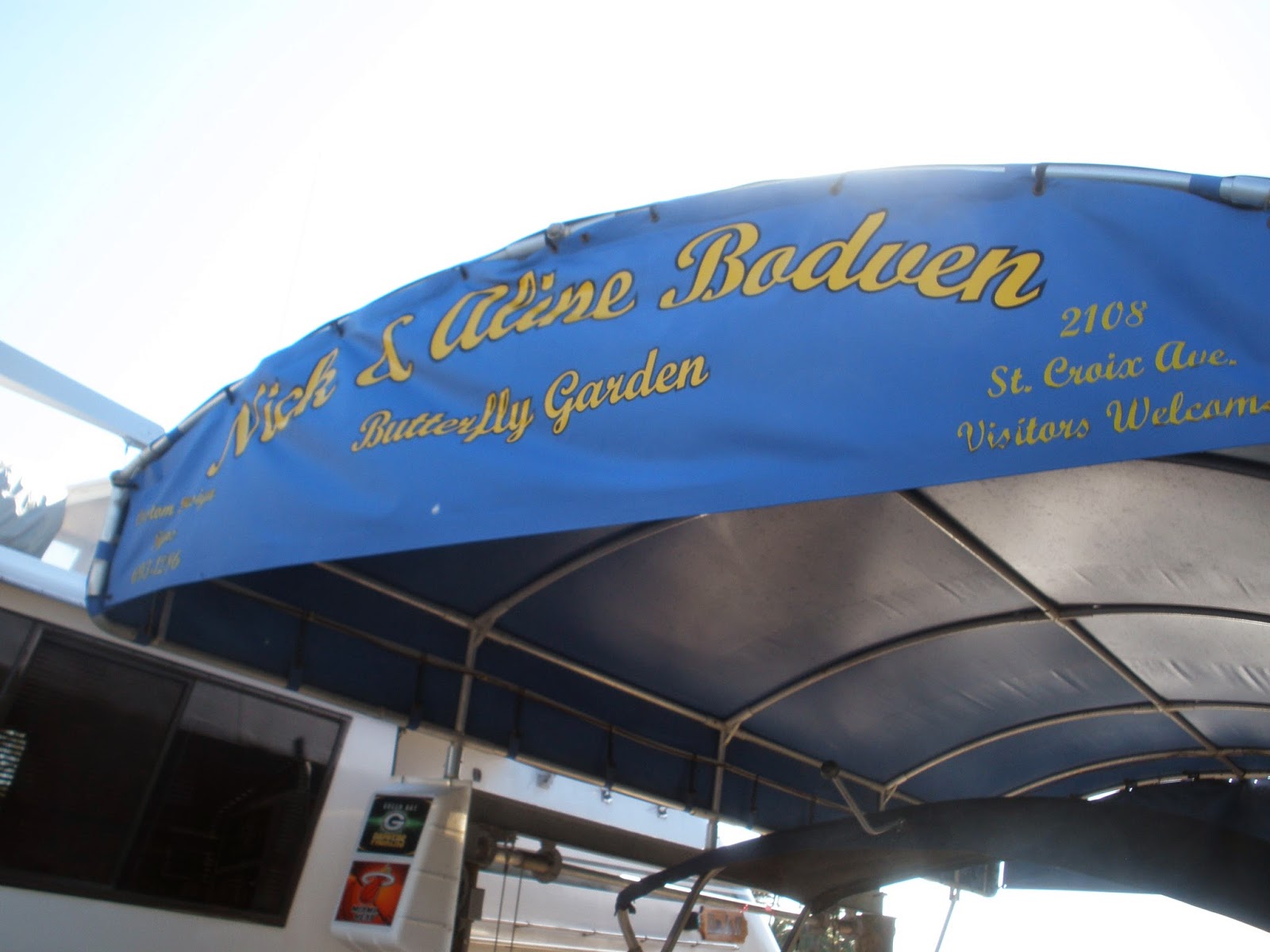
Wednesday the 14th:  Moore Haven Town Dock, FL to Nick and Aline's in Fort Myers, FL:
It was a beautiful morning that started with a great view of the moon going down.  It was 75 degrees when we got up at 05:30.  We saw 4 more alligators this morning; tried to get a picture but they didn’t turn out.  We went through 2 more locks today; the Ortona Lock and the Franklin Lock.  We made real good time with a bit of a tail wind and averaged 9 knots.  Went 45 miles in 5.5 hours with both the locks and 3 bridge openings. Just visited the rest of the day with Nick and Aline after getting here about 11:45.  It was good to see them again.

N26.71388
W81.73959


5-14-2014:  Beautiful view of the moon just before day break.


5-14-2014:  Husky on floats on the Okeechobee Waterway.


May 15 through 18-2014, Thursday through Sunday at Nick and Aline's:
It is nice to just relax and not have to travel. We got caught up on a few things. We took Nick’s car to West Marine, Ace Hardware, and the grocery store to stock up on just about everything. After paying the high prices for groceries in the Abaco I will never complain about prices here in the states again. Went out for some nice dinners and got caught up on visiting.


5-15-2014:  I got to help Nick tag this Monarch butterfly from Nick and Aline's butterfly garden.
Butterfly blog:  http://nickiebodv.blogspot.com/


5-16-2014: Sun set on the Caloosahatchee River


May 19, 2014; Monday, Fort Myers Yacht Basin: A short 10 mile trip down to the marina. Stopped at the fuel dock and got 300 gallons of diesel and a pump-out.  Had a busy afternoon with a list of things to get done; wash boat, wash clothes, walk to Publix, dispose of old oil and get ready for an early morning.  I wanted to get a hair cut but ran out of time.

N26.64766
W81.87152


May 20, 2014,  Tuesday,  Got going by 06:15.  There was a 70 foot boat that came in late last night that left at the same time this morning as we did.  It was from the British Virgin Islands.  The captain drove it totally with remote control; he was standing on the stern and driving backwards.  It took us 2 hours to get to Mile 0 on the Okeechobee Waterway; the turn off to Fort Myers Beach.  We then headed north up Pine Island Sound to Charlotte Harbor and then on the Sarasota Bay.  It was a beautiful morning and day and we made good time.  The first anchorage we had picked turned out to be way too shallow so we went another 8 miles and anchored by the Ringling Causeway Bridge in Sarasota.  For just spending the night, it is a nice little anchorage.  We went 90 miles today in 10 hours and 20 minutes.


5-20-2014: On the “Miserable Mile” at Fort Myers Beach; last time we were here he sold bait out of his boat and now he has a house on a barge anchored there.


5-20-2014:: Lots of dolphins following our boat again


N27.33249
W82.55336


May 21, 2014, Wednesday, Clearwater Municipal Marina:  Got going by 06:15 again.   Another beautiful day.  Sarasota Bay was smooth with just a little ripple.  Tampa Bay was a little rougher with a light chop.  We had a lot of “No Wake” zones again today.  We got to Clearwater by 13:30, got 200 gallons of diesel and were in our slip by 14:30.  We got settled in and went for a walk over to Cooter Restaurant for drinks and “Grouper Cheeks”.  We went 63.5 miles today in 7 hours and 15 minutes.  I finally got my hair cut on Thursday.  We plan on staying here for another day before crossing the Gulf of Mexico on Friday.

N27.97641
W82.82474


5-21-2014: Sun rise on Sarasota Bay


5-21-2014: Our boat on the face dock at Clearwater


CO's comments:  The guy that was backing up his 70 foot boat by remote control had to have spent at least $25,000 for that system.  The boat was easier to back up and go side ways than it was for him to manually drive it forward.  It takes all the fun out of docking.  I bet if the system quit he would have trouble getting it in by himself manually.